
Remote Data Intelligence
Start with everything already known.
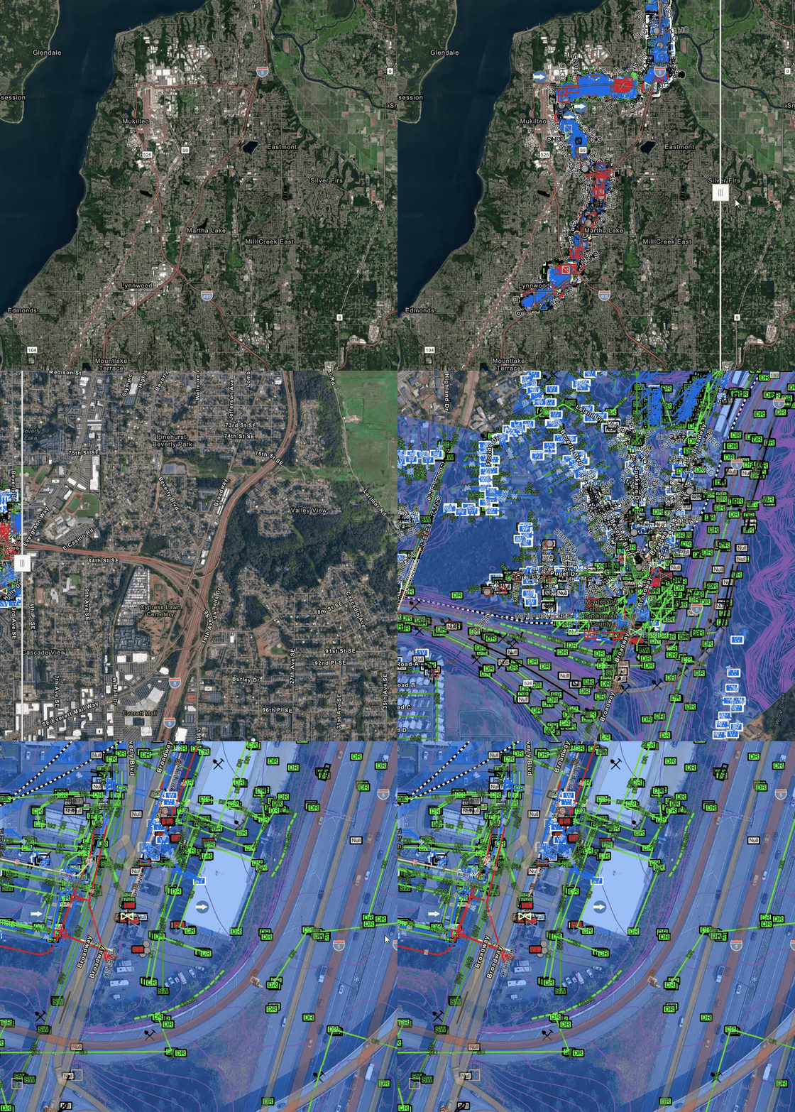
Our proprietary AI uncovers and connects public project intelligence—from utility records and as-builts to geotechnical reports, satellite imagery, permits, and more—creating a reliable, analysis-ready map with fully traceable insights.
ExoInfo
Accelerate project delivery by surfacing the unknowns before anyone steps on site.
Every infrastructure project contains hidden risks—unknown utilities, undocumented assets, conflicting records, stakeholder agreements, environmental constraints, and forgotten permits. No single dataset reveals the full picture, and traditional research is time- and labor-intensive while still leaving critical gaps.
ExoInfo combines proprietary AI with the expertise of planners and engineers to rapidly discover, organize, and analyze every available source of project intelligence before a single crew mobilizes. By transforming fragmented information into a single, traceable view of your project, ExoInfo uncovers hidden conflicts, identifies critical risks, and delivers source-linked CAD and GIS intelligence that enables faster and more informed planning, design, and decision-making.
- 60%utility mapping accuracy pre-fieldwork
- Monthsof manual research reduced to weeks
- 100%legal compliance with public domain data usage
- QL-D/C ASCE 38-22 standard achieved
How it works
From fragmented data to above- and below-ground knowledge.
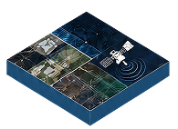
Remote Data Input
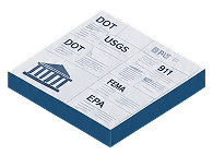
Government & Utility Records
DOT, EPA, USGS, 811, statutory records, and utility owner data
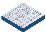
Engineering & Project Documents
As-built plans (PDF/DWG), permits, reports, and prior civil/geotechnical work
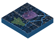
Geospatial Data
GIS layers and geospatial databases
Satellite & Remote Sensing
Public and commercial satellite imagery (SAR & EO)
LiDAR & Visual Intelligence
LiDAR archives, drone imagery, street view, aerial imagery, and historical photography
Intelligence Output
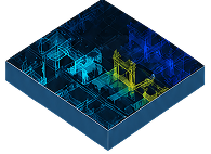
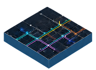
Underground Infrastructure
Utility line locations with attributes (material, diameter, pressure, voltage)
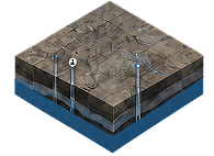
Subsurface & Geotechnical
Soil boring logs and groundwater data
Energy & Resource Infrastructure
Oil, water, and gas well locations and status
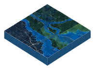
Environmental Constraints
Flood zones, wetlands, and environmental constraint areas
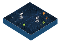
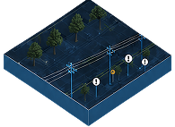
Above-Ground Infrastructure
Utility poles, overhead lines, and surface-level infrastructure indicators
How it works
From fragmented data to above- and below-ground knowledge.
Remote Data Input
Intelligence Output
Government & Utility Records
DOT, EPA, USGS, 811, statutory records, and utility owner data
Engineering & Project Documents
As-built plans (PDF/DWG), permits, reports, and prior civil/geotechnical work
Geospatial Data
GIS layers and geospatial databases
Satellite & Remote Sensing
Public and commercial satellite imagery (SAR & EO)
LiDAR & Visual Intelligence
LiDAR archives, drone imagery, street view, aerial imagery, and historical photography
Underground Infrastructure
Utility line locations with attributes (material, diameter, pressure, voltage)
Subsurface & Geotechnical
Soil boring logs and groundwater data
Energy & Resource Infrastructure
Oil, water, and gas well locations and status
Environmental Constraints
Flood zones, wetlands, and environmental constraint areas
Above-Ground Infrastructure
Utility poles, overhead lines, and surface-level infrastructure indicators
Know before you go
A smart start to every project.
See What Others Miss
Proprietary AI uncovers utilities, geotechnical conditions, physical infrastructure, site history, and other critical project intelligence hidden across fragmented data sources at unprecedented scale.
Reduce Risk Before It Impacts the Project
Identify conflicts, constraints, and undocumented conditions early enough to minimize redesigns, change orders, delays, and construction surprises.
Improve Cost Confidence from Day One
Identify relocation risks, project constraints, and major cost drivers before estimates are finalized, reducing uncertainty and supporting more informed budgeting decisions.
Focus Fieldwork Where It Matters Most
Prioritize SUE, scanning, potholing, drilling, and site investigations where additional validation will have the greatest impact.
Make Decisions with Confidence
Maintain full traceability behind every finding, allowing teams to validate assumptions, defend decisions, and move projects forward with confidence.
Align Teams Around One Source of Truth
Transform fragmented records into GIS- and CAD-ready intelligence that improves collaboration across owners, designers, utility coordinators, engineers, and construction teams.
See the difference
From disconnected records to true subsurface intelligence.
ExoInfo analyzes and connects thousands of public-domain data sources—including as-builts, GIS, satellite imagery, utility records, permits, and geotechnical reports—to create the industry's most comprehensive view of existing underground conditions.
Why ExoInfo
More than utility data dumps. Actionable project intelligence.
Swipe to compare →
Traditional Research | Utility Data Platforms | ExoInfo | |
|---|---|---|---|
Data Collection | Manual requests | Automated aggregation | ✓ Automated + AI-assisted |
Data Sources | Limited to manual research | Utility owner records | ✓ Thousands of public-domain sources |
Infrastructure Coverage | Utility-focused | Primarily utility-focused | ✓ Utilities, geotech, environmental, transport |
Speed | Weeks to months | Faster record access | ✓ Rapid with AI-assisted analysis |
Analysis | Manual by engineers | Limited interpretation | ✓ AI-assisted + engineering review |
Traceability | Often difficult | Source access varies | ✓ Every feature traced to source data |
Risk Identification | Engineer experience only | Limited to utility records | ✓ Conflicts, data gaps, environmental risks |
This technology looks to be a game-changer for us in a space that is critical from project inception, planning, design, and engineering, all the way through in-flight construction. The level step increase in visibility the tech offers is like putting on prescription glasses for the first time and gaining clear vision on what was previously limited and blurry.
— Mike Roberts, Director - Emergency Planning NY, National Grid
Ready to build with greater certainty?
Bring us your next project. We'll show you what's beneath it.