
On-site Reality Capture
Where records end, ground truth begins.
Using advanced, non-intrusive scanning technologies and AI-powered analysis, we reveal utilities, subsurface features, and geotechnical conditions—creating a comprehensive understanding of site conditions above and below ground.
Utility Mapping
Redefining SUE with AI-powered insights and 3D models.
Underground utilities are often poorly documented, inaccurately mapped, or completely unknown, creating costly risks for design, construction, and infrastructure projects.
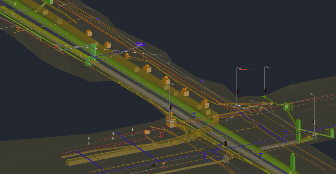
Exodigo is redefining how Subsurface Utility Engineering (SUE) is performed. Our non-intrusive Utility Mapping captures and analyzes high-density subsurface data to deliver comprehensive, engineering-ready utility maps and 3D digital deliverables with unmatched accuracy. By combining advanced sensing, cloud-based AI analysis, and veteran engineering expertise, Exodigo identifies underground infrastructure other methods miss—reducing risk, minimizing excavation, and enabling confident design decisions.
- 30%more utilities found on average compared to traditional locating methods across all Exodigo projects
- Up to 90%less intrusive investigation, limiting the need to test hole only where it matters most
- 1,000xmore data captured with Exodigo sensors than conventional locators through high-density, systematic scanning
- Up to 90%mapping accuracy for non-intrusive, versus 80% with traditional SUE methods
- 86.1M+square feet scanned across complex infrastructure environments
- Millionsof subsurface scenarios analyzed per site using AI-driven modeling
- Monthsof utility analysis compressed into hours through AI-powered processing
- QL-B+ ASCE 38-22 QL-B utility mapping standard, with added depth intelligence for 3D design
Signals & sensors
Scanning equipment built for every terrain.
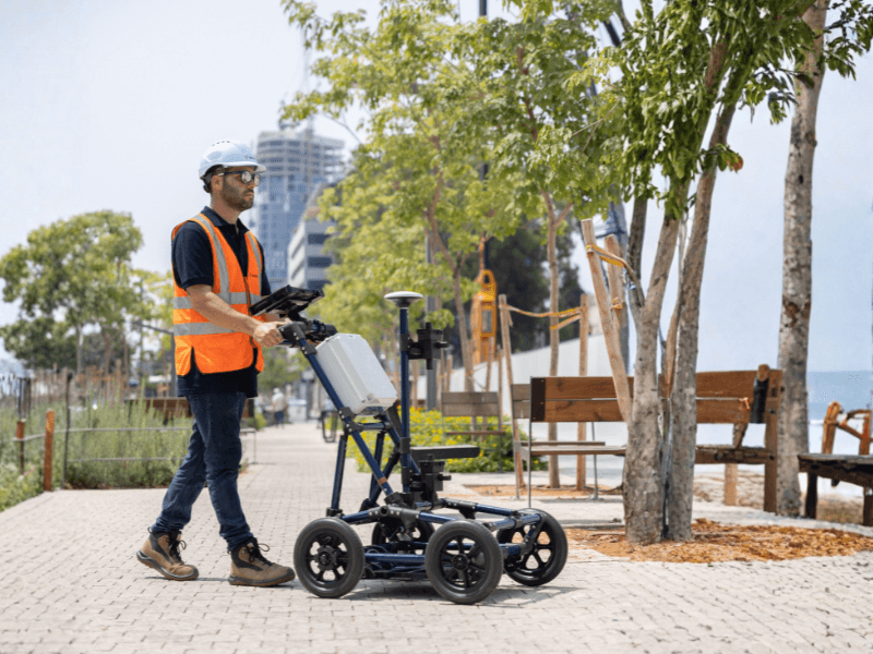
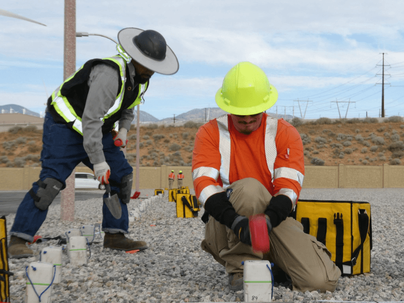
No two sites are the same. Our proprietary scanning equipment is designed to capture high-quality subsurface data across any environment—without disruption.
ExoCart
Multi-sensor surveying | Comprehensive site coverage
Exodigo’s primary multi-sensor platform, designed to deliver comprehensive underground data across a wide range of solid-ground environments.
ExoDrone
Aerial surveying | Large or hard-to-access areas
Covers expansive or inaccessible terrain with rapid, efficient data capture from above
ExoBackpack
Mobile surveying | Rough or constrained environments
Provides flexibility and mobility in complex environments such as residential areas, uneven terrain, or limited-access sites.
ExoRoad
Roadway surveying | Active roads
Vehicle-mounted system designed to collect data efficiently while minimizing traffic disruption and reducing permitting requirements.
ExoRail
Rail corridor surveying | Active rail lines
Enables non-disruptive data collection along live rail infrastructure, supporting safe and continuous operations.
ExoPile
Foundation surveying | Pile-supported structures
Specialized seismic sensing system that non-destructively characterizes pile-supported structures and foundation elements.




Setting a new standard
Solve utility challenges before they become project risks.
Prevent Utility Strikes & Safety Incidents
Locate buried utilities with greater accuracy to reduce the risk of damaging critical infrastructure during excavation and construction.
Identify Utility Conflicts Early
Reveal utility crossings, congestion, depth constraints, and subsurface conflicts before design is finalized, enabling better routing decisions and reducing redesigns.
Reduce Project Costs & Schedule Risk
Deliver comprehensive utility intelligence upfront to minimize rework, accelerate project delivery, reduce field investigations, and avoid costly construction delays.
Minimize Operational Disruption
Collect high-density utility data non-intrusively while reducing impacts to traffic, rail operations, businesses, and surrounding communities.
Optimize Field Validation & Excavation
Reduce unnecessary test holes and exploratory excavation by focusing QL-A investigations only where additional validation is required.
Create a Single Source of Truth
Transform fragmented records into GIS- and CAD-ready intelligence that improves collaboration across owners, designers, utility coordinators, engineers, and construction teams.
How it works
Complete utility intelligence. No digging. No disruption.
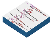
Sensor Scanning Input
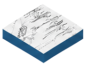
Multichannel Ground Penetrating Radar (GPR)
Detects buried utilities, voids, and non-metallic infrastructure using radar.
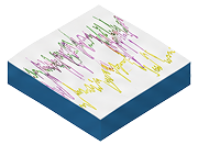
Electro-Magnetic (EM)
Locates conductive utilities including powerlines, tracer wires, and metal pipes
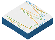
Magnetic
Detects buried ferrous metals, tanks, casings, and steel infrastructure
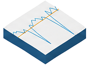
Metal Detector
Pinpoints shallow metallic utilities, markers, and buried infrastructure components
Thermal & Spectral
Identifies subsurface anomalies through heat signatures and surface material changes
Intelligence Output
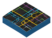
Comprehensive Utility Mapping
Detected utility locations, depth ranges, material types, and classifications
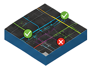
Comparison & Verification
Identifies new utilities and verifies or corrects existing records
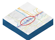
Conflict Identification
Detects design conflicts using surface and subsurface infrastructure intelligence
Subsurface Risk Identification
Unknown utilities, anomalies, voids, and potential construction hazards
Surface & Access Features
Manholes, hydrants, valves, handholes, and visible infrastructure indicators
How it works
Complete utility intelligence. No digging. No disruption.
Sensor Scanning Input
Intelligence Output
Multichannel Ground Penetrating Radar (GPR)
Detects buried utilities, voids, and non-metallic infrastructure using radar.
Electro-Magnetic (EM)
Locates conductive utilities including powerlines, tracer wires, and metal pipes
Magnetic
Detects buried ferrous metals, tanks, casings, and steel infrastructure
Metal Detector
Pinpoints shallow metallic utilities, markers, and buried infrastructure components
Thermal & Spectral
Identifies subsurface anomalies through heat signatures and surface material changes
Comprehensive Utility Mapping
Detected utility locations, depth ranges, material types, and classifications
Comparison & Verification
Identifies new utilities and verifies or corrects existing records
Conflict Identification
Detects design conflicts using surface and subsurface infrastructure intelligence
Subsurface Risk Identification
Unknown utilities, anomalies, voids, and potential construction hazards
Surface & Access Features
Manholes, hydrants, valves, handholes, and visible infrastructure indicators
The Exodigo Difference
Utility Mapping
Swipe to compare →
Capability | Traditional SUE | Exodigo Utility Mapping |
|---|---|---|
Coverage | Follows known utility paths and investigates targeted areas | ✓ High-density, site-wide scanning captures subsurface data across the entire project area |
Detection | Relies heavily on records, surface features, and locatable utilities | ✓ Identifies undocumented, abandoned, inaccurately mapped, and difficult-to-detect infrastructure |
Depth Intelligence | QL-B utility designation with limited or inferred depth information | ✓ QL-B+ combines utility designation with sensor-derived depth attributes and 3D utility characterization to improve design coordination and clash detection |
Utility Conflict Identification | Conflicts often emerge during design progression or construction | ✓ Identifies utility crossings, congestion, depth constraints, and constructability challenges before design is finalized |
Engineering Validation & QA | Results depend heavily on field interpretation and individual operator experience | ✓ Utility engineers validate findings, classify assets by confidence and depth, and apply rigorous QA/QC to deliver consistent, engineering-ready results |
Exodigo exceeded all our expectations. They found twice as many lines as what the premium locators we called had found. This avoided a number of utility strikes that were in the right-of-way and would have been a major issue for our team and the execution of the project."
— Erich Metzger, Former Sr. Director of Strategic Development, Charge EPC
Foundation Mapping
Capture the complete foundation picture with structural health insights and 3D models.
Unknown foundation conditions create costly risk for owners, engineers, and contractors. Missing as-builts, undocumented pile depths, complex footing systems, and destructive investigation methods can delay projects, inflate budgets, and introduce structural uncertainty.
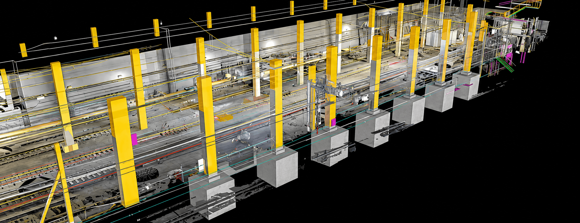
Exodigo's non-intrusive Foundation Mapping combines ExoPile™, foundation-specific GPR, multi-sensor data collection, AI-powered processing, and structural engineering expertise to deliver accurate 3D foundation models, structural health insights, corrosion assessments, and engineering-ready reports — without excavation or drilling.
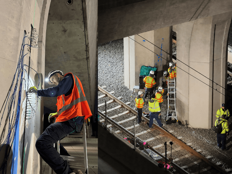
- <10%foundation depth deviation, verified by ExoPile
- <5-inchhorizontal geometry deviation
- Up to 100 ft pile depth characterization without excavation or drilling
- 0structural disruption during investigation
- 0traffic disruption in most environments
- 2 standardsASTM D6432 and ASCE 38-22 aligned workflows
How it works
Uncover the unknowns in foundations.
Sensor Scanning Input
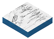
Multichannel Ground Penetrating Radar (GPR)
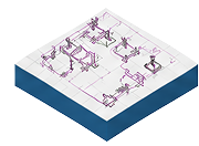
Maps foundation geometry, footings, piles, and reinforcement
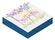
Seismic
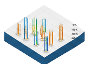
Measures foundation depth, pile tips, and bedrock
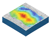
Electrical Resistivity Tomography (ERT)
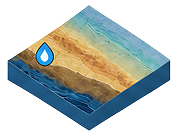
Identifies soil, moisture, and subsurface material changes
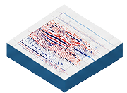
Frequency-Domain Electromagnetics (FDEM)
Detects buried structural elements and material conductivity
Intelligence Output
Foundation Geometry Mapping
Accurate foundation layouts, footprints, and structural geometry for engineering analysis and design
Foundation Depth
Precise foundation depth and vertical geometry to support design verification and construction planning
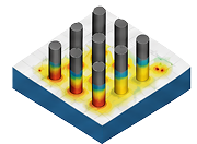
Structural Health & Corrosion
Structural condition indicators to identify deterioration, corrosion, and potential integrity concerns
Subsurface Condition Analysis
Characterization of soil, bedrock, and moisture conditions to support foundation evaluation and engineering decisions
How it works
Uncover the unknowns in foundations.
Sensor Scanning Input
Intelligence Output
Multichannel Ground Penetrating Radar (GPR)
Maps foundation geometry, footings, piles, and reinforcement
Seismic
Measures foundation depth, pile tips, and bedrock
Electrical Resistivity Tomography (ERT)
Identifies soil, moisture, and subsurface material changes
Frequency-Domain Electromagnetics (FDEM)
Detects buried structural elements and material conductivity
Foundation Geometry Mapping
Accurate foundation layouts, footprints, and structural geometry for engineering analysis and design
Foundation Depth
Precise foundation depth and vertical geometry to support design verification and construction planning
Structural Health & Corrosion
Structural condition indicators to identify deterioration, corrosion, and potential integrity concerns
Subsurface Condition Analysis
Characterization of soil, bedrock, and moisture conditions to support foundation evaluation and engineering decisions
Confidence from the ground up
Turn foundation uncertainty into engineering confidence.
Reduce Structural Uncertainty
Reveal foundation depth, geometry, pile locations, pile cap dimensions, reinforcement, and adjacent ground conditions when as-builts are missing, outdated, or incomplete.
Avoid Destructive Investigation
Reduce reliance on excavation, drilling, and coring by collecting foundation intelligence non-intrusively.
Minimize Traffic & Site Disruption
Collect data in dense, operational, and access-constrained environments without interrupting critical infrastructure.
Improve Engineering Confidence
Deliver validated 3D foundation models supported by AI-enhanced multi-sensor fusion and expert structural engineering review.
Multi-Sensor Fusion Sees More
Single-sensor surveys can miss clay barriers, mixed soil formations, complex footing systems, and difficult-to-interpret subsurface conditions. Exodigo fuses multiple sensing modalities to create a more complete picture.
Assess Structural Health & Corrosion
Go beyond foundation geometry to understand asset condition. Exodigo's multi-sensor approach identifies indicators of structural deterioration, reinforcement corrosion, cracking, and degradation within critical foundation elements, helping owners prioritize maintenance and rehabilitation efforts.
The Exodigo Difference
Foundation Mapping
Swipe to compare →
Capability | Conventional Excavation / Drilling | Single-Sensor GPR Survey | Exodigo Foundation Mapping |
|---|---|---|---|
Depth Accuracy (Z-Axis) | Variable | Limited | ✓ <10% deviation |
Horizontal Accuracy (X,Y) | Variable | Limited | ✓ <5" deviation |
Structural Disruption | High | None | ✓ Zero |
Traffic Disruption | Significant | Minimal | ✓ Zero |
Structural Health Insights | None | Limited | ✓ Included |
Total Project Risk Reduction | Low | Moderate | ✓ High |
The technology platform has the potential to transform the way the entire industry designs and builds. The company’s unique approach to non-intrusive underground discovery is already improving the way capital projects are conceived, built, and executed by offering accurate insights that mitigate risk throughout the project lifecycle."
— Parker Mundt, Partner, Head of Platform, Suffolk Technologies
Geotech Mapping
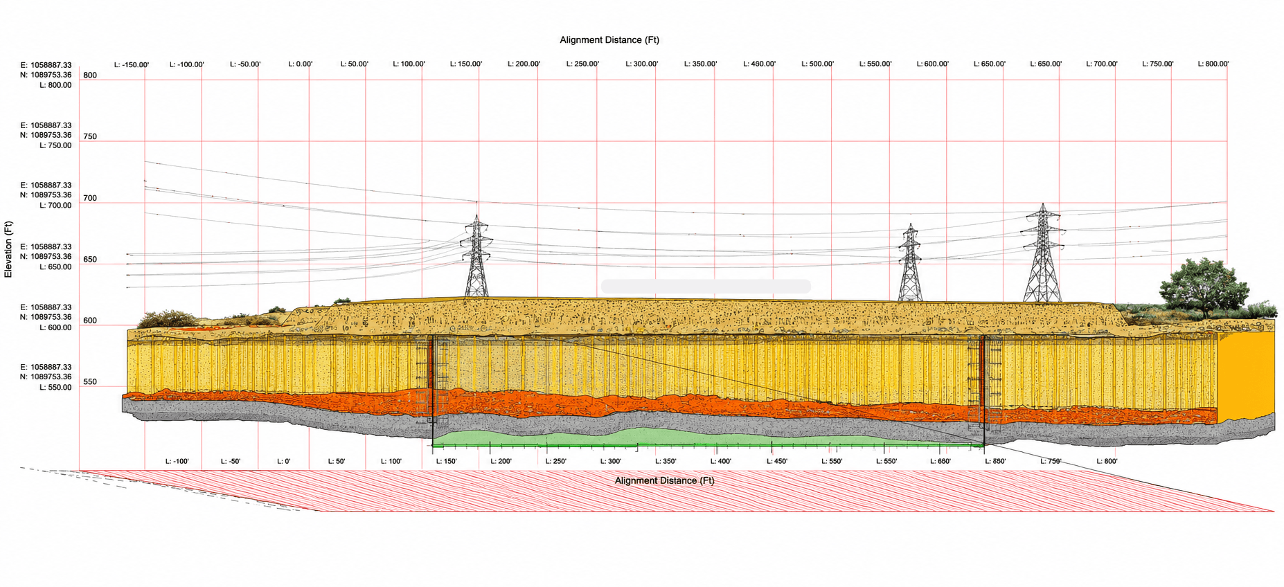
Fill the gaps in traditional geotechnical investigations with continuous subsurface intelligence.
Ground conditions rarely change at the same intervals as boreholes. Traditional geotechnical investigations rely on widely spaced sampling locations that leave critical gaps between investigation points, allowing variable soils, rock interfaces, groundwater, and undocumented fill to go undetected.
Exodigo fills those gaps by combining remote data intelligence, advanced multi-sensor scanning, AI-powered analysis, and geotechnical engineering expertise to create a continuous understanding of subsurface conditions. The result is better-informed investigations, optimized borehole programs, and greater confidence in engineering decisions before construction begins.
- 30 mcontinuous subsurface characterization
- ~1 maccuracy for geotechnical layer mapping
- Fewer unnecessary boreholes through targeted investigation recommendations
- 100%engineering-ready deliverables—not raw geophysical data
How it works
There's more beneath the surface than you think.
Sensor Scanning Input
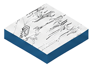
Electrical Resistivity Tomography (ERT)
Maps subsurface resistivity to identify soil and rock layers, groundwater conditions, and material changes.
Frequency-Domain Electromagnetics (FDEM)
Measures subsurface conductivity to differentiate soil types and detect geologic variability.
Multichannel Ground Penetrating Radar (GPR)
Captures high-density radar data to image shallow subsurface layers, buried features, and changing ground conditions.
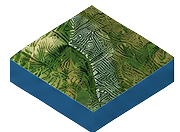
LiDAR
Creates precise terrain and surface models that provide context for geotechnical interpretation.
Magnetic
Detects buried ferrous objects and subsurface anomalies that may influence site conditions.
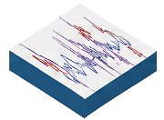
Seismic
Measures seismic wave propagation to characterize soil stiffness and bedrock depth.
Intelligence Output
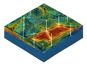
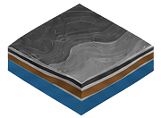
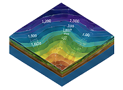
Continuous Ground Model
A continuous interpretation of subsurface conditions between boreholes.
Soil & Rock Stratigraphy
Maps subsurface layers, material transitions, and bedrock interfaces across the project corridor.
Layer Depth & Thickness
Characterizes the depth, thickness, and continuity of geotechnical layers.
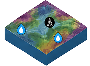
Ground Condition Analysis
Identifies groundwater, fill, moisture, and geologic conditions.
How it works
There's more beneath the surface than you think.
Sensor Scanning Input
Intelligence Output
Electrical Resistivity Tomography (ERT)
Maps subsurface resistivity to identify soil and rock layers, groundwater conditions, and material changes.
Frequency-Domain Electromagnetics (FDEM)
Measures subsurface conductivity to differentiate soil types and detect geologic variability.
Multichannel Ground Penetrating Radar (GPR)
Captures high-density radar data to image shallow subsurface layers, buried features, and changing ground conditions.
LiDAR
Creates precise terrain and surface models that provide context for geotechnical interpretation.
Magnetic
Detects buried ferrous objects and subsurface anomalies that may influence site conditions.
Seismic
Measures seismic wave propagation to characterize soil stiffness and bedrock depth.
Continuous Ground Model
A continuous interpretation of subsurface conditions between boreholes.
Soil & Rock Stratigraphy
Maps subsurface layers, material transitions, and bedrock interfaces across the project corridor.
Layer Depth & Thickness
Characterizes the depth, thickness, and continuity of geotechnical layers.
Ground Condition Analysis
Identifies groundwater, fill, moisture, and geologic conditions.
Know before you build
Build better designs with better ground intelligence.
Understand Ground Conditions Earlier
Gain a continuous understanding of soil layers, rock interfaces, groundwater conditions, and geologic variability before design decisions are finalized.
Reduce Geotechnical Uncertainty
Identify changing subsurface conditions across the project site to reduce unforeseen risks that can impact design, construction, schedule, and budget.
Guide Geotechnical Investigations
Use continuous subsurface intelligence to help prioritize borehole locations, validate existing investigations, and focus additional geotechnical work where it provides the greatest value.
Maximize Existing Data
Combine borehole logs, geotechnical reports, satellite imagery, LiDAR, and multi-sensor field data into a single, continuously updated geotechnical model—extending the value of information you already have.
Deliver Engineering-Ready Insights
Transform complex geophysical measurements into practical geotechnical intelligence that supports planning, design, constructability reviews, and project risk management.
The Exodigo Difference
Geotech Mapping
Swipe to compare →
Capability | Traditional Geotechnical Investigation | Conventional Geophysical Survey | Exodigo Geotechnical Mapping |
|---|---|---|---|
Site Coverage | Point-based boreholes | Partial survey coverage | ✓ Continuous subsurface characterization |
Ground Intelligence | Limited to borehole interpolation | Sensor interpretation | ✓ Continuous AI-powered ground model with engineering insights |
Data Sources | Boreholes and laboratory testing | Single sensing method | ✓ Remote intelligence + multi-sensor scanning |
Investigation Strategy | Fixed drilling program | Limited optimization | ✓ Optimized, targeted borehole recommendations |
Project Deliverables | Geotechnical report | Geophysical report | ✓ Engineering-ready reports and digital map deliverables |
The technology platform has the potential to transform the way the entire industry designs and builds. The company’s unique approach to non-intrusive underground discovery is already improving the way capital projects are conceived, built, and executed by offering accurate insights that mitigate risk throughout the project lifecycle."
— Parker Mundt, Partner, Head of Platform, Suffolk Technologies
Targeted Validation
Confirm critical subsurface conditions with targeted validation.
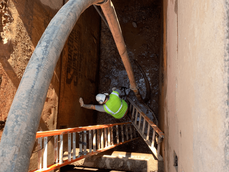
As projects move from design into construction, targeted intrusive investigation is often required to validate subsurface conditions, verify critical assets, and reduce uncertainty before excavation or construction activities begin.
Exodigo combines advanced subsurface intelligence with strategic intrusive investigation to support utility validation, geotechnical test holing, and foundation verification. Whether confirming utility locations to achieve QL-A per ASCE 38-22 standards, validating geotechnical conditions, identifying existing foundations, or integrating third-party investigation data, Exodigo helps teams close information gaps and maintain a single, continuously improving source of truth for project-critical decisions.
- Up to 99%mapping accuracy through validation
- QL-A ASCE 38-22 standard achieved
- Multi-Asset Utilities, foundations, and geotechnical
- Unified ModelField-validated subsurface intelligence
Our Targeted Validation Solutions
Investigation Recommendation & Planning
Prioritize test holes where it matters most.
Based on Exodigo's findings, we identify where intrusive investigation will provide the greatest value, helping teams prioritize utility validation, geotechnical investigations, foundation verification, and other subsurface investigations around high-risk, high-impact, or high-uncertainty areas.
Utility Mapping • Geotech Mapping • Foundation Mapping
Built on verified intelligence
Validate critical findings with confidence.
Focus Validation Where It Matters Most
Leverage Exodigo's subsurface intelligence to identify where intrusive investigation will provide the greatest value, helping teams target validation efforts in areas of highest uncertainty, complexity, and project risk.
Reduce Subsurface Risk Before Construction
Confirm the location, depth, condition, and characteristics of critical utilities, foundations, underground structures, and geotechnical features before construction begins, reducing the likelihood of utility strikes, redesigns, delays, and costly field surprises.
Maintain a Single Source of Truth
Whether performed by Exodigo or a third party, investigation results are integrated directly into Exodigo's subsurface model, creating a more complete, validated dataset that supports planning, design, coordination, risk management, and construction decisions.
Excavating around buried services is one of our biggest risks, and the stat plans provided by statutory undertakers are in large part inaccurate. Exodigo's surveys provide us with much more reliable data that can then be used to select safer excavation techniques around known services."
— Hamish Falconer, Senior Project Manager, Colas Rail UK
Ready to build with greater certainty?
Bring us your next project. We'll show you what's beneath it.