
Case Study | Granite Construction & TxDOT — Highway 288 Expansion
Utility Intelligence Beyond the Limits of GPR
Granite and TxDOT partnered with Exodigo to map underground utilities across swampy, high-water-table terrain before construction on the Highway 288 expansion in Houston — resolving two deep crude oil lines, identifying unmapped utilities, and catching a bridge foundation conflict before excavation began.
- 2previously unmapped lines identified
- 28 / 31 ftcrude oil line depths resolved
- ~4.5 ftrecord discrepancy corrected
- 1bridge foundation conflict caught
Project Summary
Mapping critical utilities beneath swampy highway terrain.
Before construction could begin on the Highway 288 expansion, Granite needed to locate every on-site utility — especially two deep crude oil pipelines running below the project area.
But saturated soils and a high water table made traditional GPR-based locating unreliable. Exodigo was brought in to scan the full site non-intrusively and deliver a verified composite utility map that Granite and TxDOT could use for design, planning, and safe construction.
THE CHALLENGE
High-consequence utilities in GPR-hostile ground.
Wet, swampy ground
A persistent high water table and saturated soils degraded radar returns conventional locating depends on, leaving traditional methods unable to deliver reliable results.
Deep, high-consequence lines
Two crude oil pipelines ran far below the reach of typical locating methods, with exact position and depth critical to planning safe construction.
Incomplete, inaccurate records
Existing records were known to be unreliable, leaving Granite without a dependable basis for excavation and foundation design.
EXODIGO'S APPROACH
A multi-sensor approach for challenging conditions.
Exodigo combined available records, remote data review, non-intrusive multi-sensor scanning, and AI-enabled processing to create a single composite utility map — giving Granite and TxDOT a defensible view of underground conditions before breaking ground.
ExoInfo
Remote Data Collection & Integration
Exodigo ingested available as-builts, utility records, and GIS/CAD data through ExoInfo — reconciling inconsistencies and flagging high-risk areas, including the suspected crude oil alignments, before mobilizing to the field.
Utility Mapping
Non-Intrusive On-Site Reality Capture
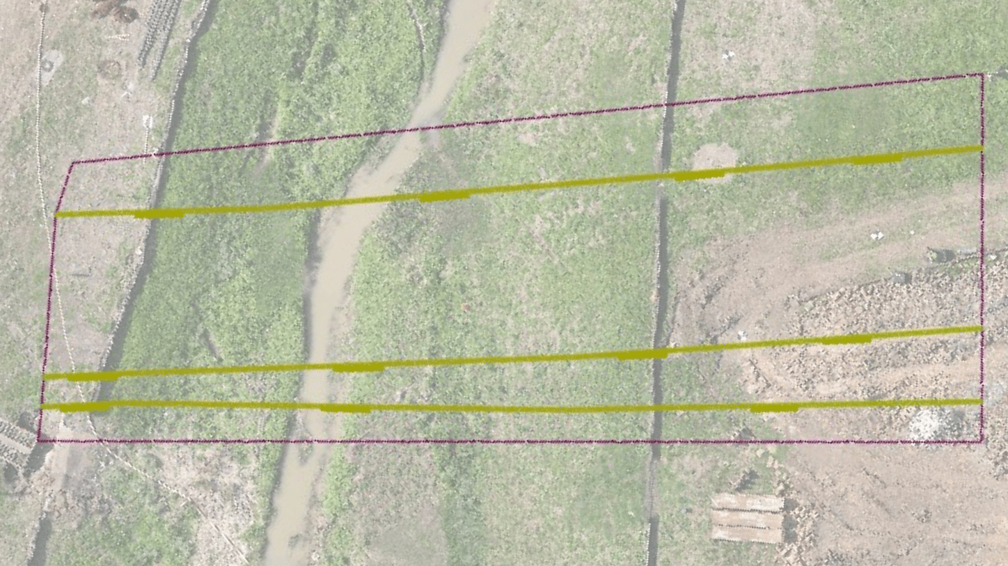
Rather than relying on GPR, Exodigo scanned the full site with the ExoCart platform, fusing complementary multi-sensor signals to detect and position utilities through the swampy, high-water-table ground that defeats radar-based locating — resolving both shallow lines and the deep crude oil pipelines without any excavation. Field data was delivered as a high-confidence Composite Utility Map, with detected utilities classified to ASCE Quality Level B, in DXF, GIS, KML, PNG, and PDF formats and georeferenced to the Texas South Central Coordinate System for direct integration into Granite's and TxDOT's design.
Impact
The findings that protected construction plans.
Deep Oil Lines Resolved
Confirmed the exact depth of two crude oil pipelines — 28 and 31 feet below ground.
Unmapped Lines Identified
Revealed two lines missing from every existing record.
Foundation Conflict Caught
Detected an unmapped line running parallel to, and conflicting with, the planned bridge foundation.
Records Corrected
Identified a line mislocated by roughly 4.5 feet, prompting TxDOT to replan a test-bore drill point.
Design Decisions Made Earlier
Enabled Granite and TxDOT to revise plans before excavation, avoiding high-risk surprises during construction.





In difficult wetlands conditions, Exodigo's technology found lines that GPR and other traditional methods did not. Especially when dealing with oil and gas pipes, precise knowledge makes a big difference, since utility strikes are bad for the environment, bad for our crew, and bad for the bottom line.
— Antonio Cendejas, Construction Technology Specialist, Granite Construction
Ready to build with greater certainty?
Bring us your next project. We'll show you what's beneath it.